Topography of Troy,
and Its Vicinity Illustrated and Explained by Drawings and Descriptions. Dedicated by Permission, to her Grace The Duchess of Devonshire.
By Gell, William
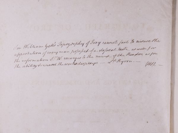
Inscribed and Signed by Lord Byron.
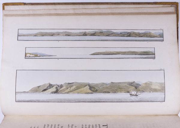
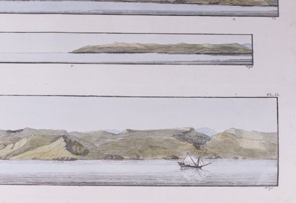
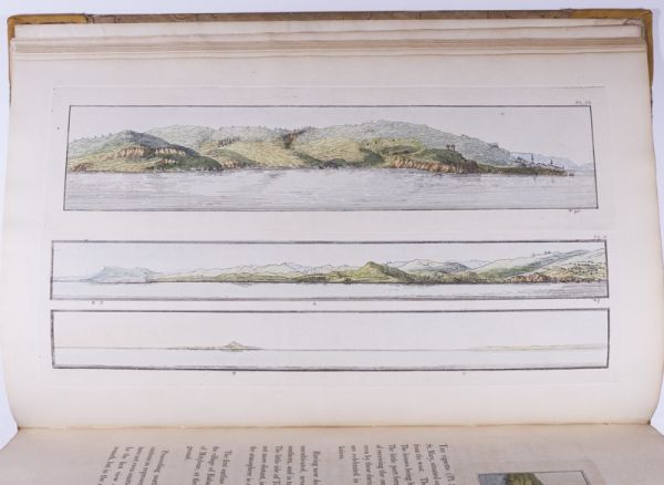
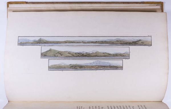
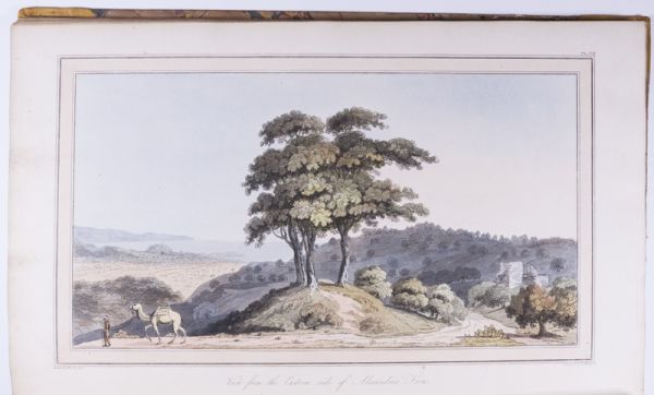
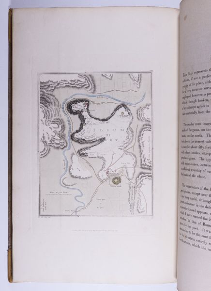
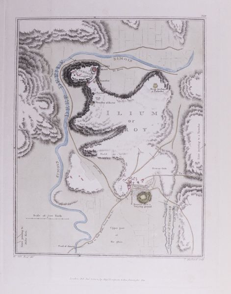
London: C. Whittingham, for T.N. Longman and O. Rees, 1804. First Edition. Folio – 43.5cm. (iv), 124 pp. Title leaf with hand-coloured engraved vignette, dedication leaf, 28 hand-coloured plates including 3 fold-out plates and 2 hand coloured maps, 13 engravings in the text, all but 2 coloured — the entire sequence numbered 1–45, one unnumbered plate at page 21. ¾ tan calf with red morocco spine label and bright gilt decorations on spine. A lovely and complete copy in Near Fine Condition. Rare.
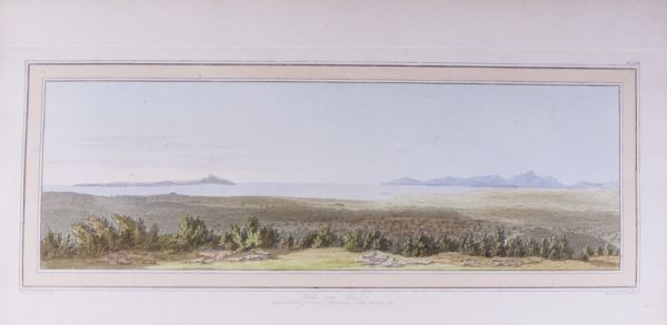
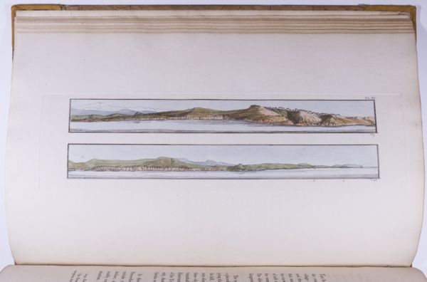
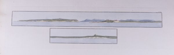
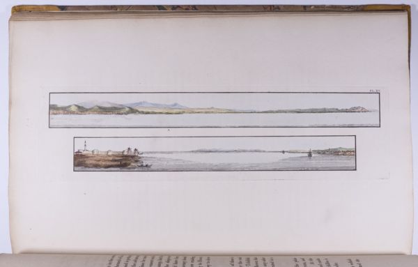
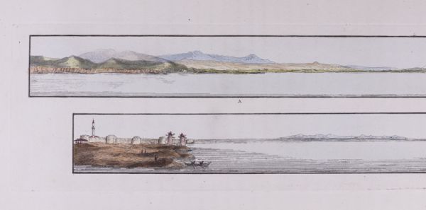
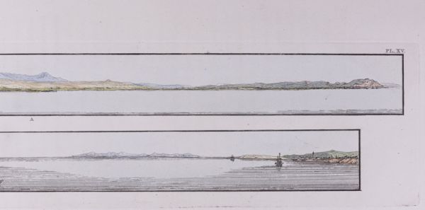
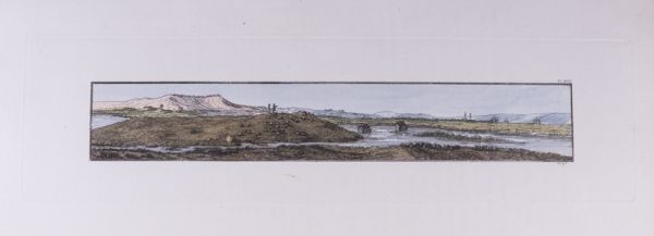
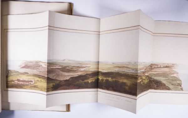
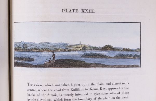
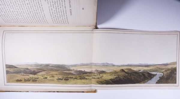
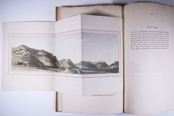
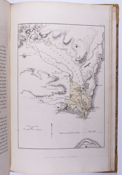
The production of this very handsome folio was intended to provide accurate illustrations of the scenery covering the whole region of Troy. William Gell visited the Troy in December, 1801 during his first trip to Greece. He used a camera lucida (an instrument in which rays of light are reflected by a prism to produce on a sheet of paper an image, from which a drawing can be made) to produce in a very short time extremely accurate small-scale sketches of vast landscapes and scenes. The final production of this very handsome folio with its forty-five plates was meant to supply accurate illustrations of the scenery covering the whole region of Troy. This is a very impressive publication. Travel, 399. Blackmer Library 660. “Certainly the most beautiful book on Troy ever printed” –A.K. Lascarides, The Search for Troy, 1553-1874, 1977
Inscribed and Signed by Lord Byron on the verso of the second blank front free leaf reading: Sir William Gell’s Topography of Troy cannot fail to insure the appreciation of every man possessed of a classical taste as well for the information. Sir W. conveys to the mind of the reader as for the ability & research the work’s display. Ld. Byron
$7000.00 -
