The Coast of Northeast Greenland
With Hydrographic Studies in the Greenland Sea
By Boyd, Louise A.
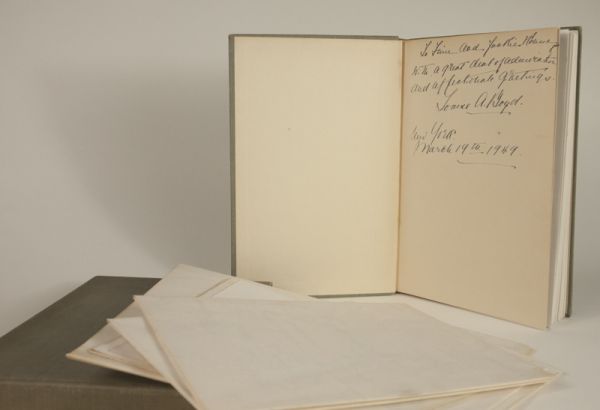
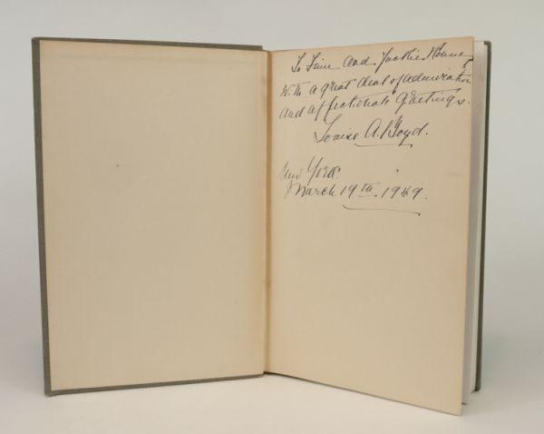
—signed and inscribed by Louise A. Boyd
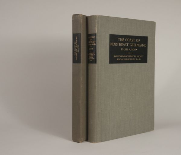
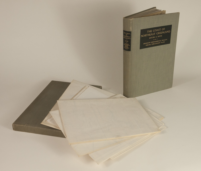
New York: American Geographical Society, Special Publication No. 30. 1948 – First Edition. Two Volumes. sm4to, 25.8 cm. Vol. I: [xi], 339pp., 193 photographs, full-page maps and drawings. Vol. II: 7 large folded maps and 5 folding black-and-white panoramic views — loose in a publisher’s matching gray cloth covered folio. Publisher’s gray cloth covered boards in Very Good condition, This unique set is signed and inscribed by Louise A. Boyd on the front fly leaf of volume I.
A narrative and detailed scientific documentation of the Louise Boyd Arctic Expeditions of 1937 and 1938. Much information is focused on topographic mapping, geology, hydrographic and ice conditions in the Greenland Sea, Spitsbergen and Franz Josep Land.
Especially notable is the seldom seen female-led aspect of this expedition. In the steamship Veslikari, Boyd with scientific staff, carried out hydrographic, geologic and natural history surveys on the sea between Lofoten Islands, Norway, Jan Mayen, East Greenland and West Spitsbergen; in waters north of West Spitsbergen; in East Greenland fiords and islands, about 72º-78’N.—Arctic Bibliography 2046
An excellent and thorough documentation.
$450.00 -
