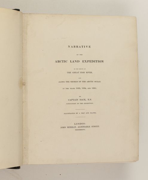
Narrative of the Arctic Land Expedition to the Mouth of the Great Fish River, and Along the Shores of the Arctic Ocean, In the Years 1833, 1834, and 1835.
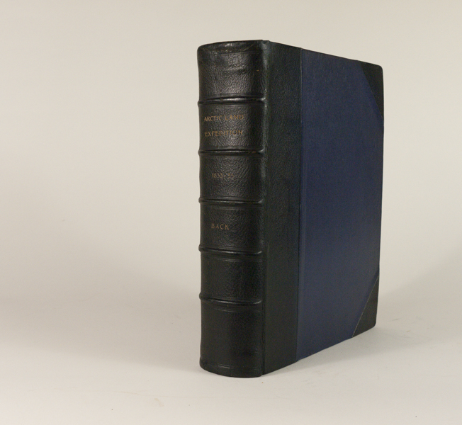
Back, Admiral Sir George
London: A.Spottiswoode for John Murray, 1836, First Edition, Large paper Admiralty Issue with wide margin formatting. Thick 4to, 28 cm. 16 plates on India paper mounted — 13 plates after Back and 3 plates by B. Waterhouse Hawkins, 7 lithographed by Haghe or Day & Haghe, 9 steel-engraved by E. Finden, 1 large fold-out engraved map with discrete oval ownership stamp at top, numerous illustrations. Bound in contemporary half black morocco over purple cloth boards, spine with raised bands in six compartments with five raised bands, lettered in the second, third and fourth compartments with gilt lettering; marbled endpapers with strong un-cracked hinges. A lovely Near Fine copy – All pages are very clean with only the slightest beginning foxing and some age toning around perimeter of some plates. An unusually well preserved copy of a very important and Rare Arctic narrative. — Hill (2004) 42; cf. Howgego II:B3; Sabin 2613; Arctic Bibliography 851.
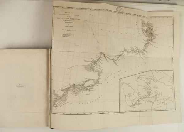
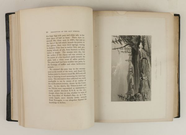
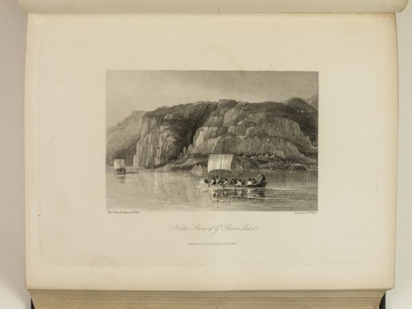
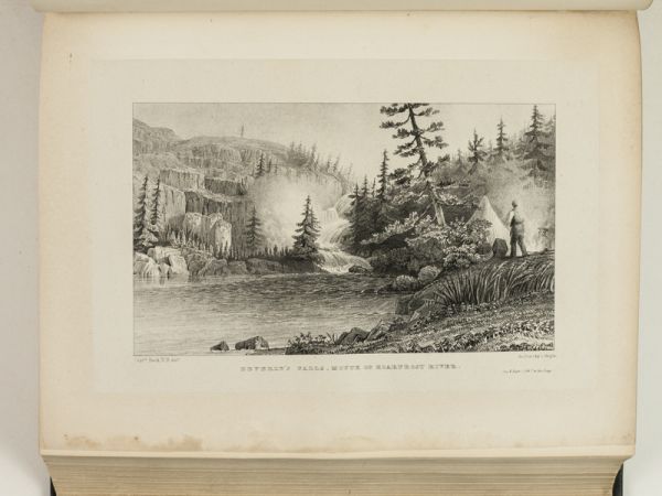
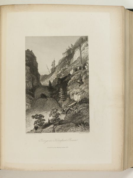
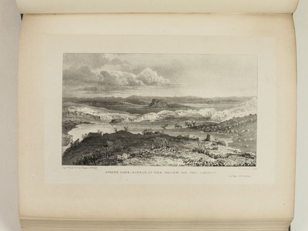
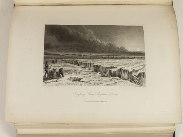
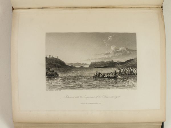
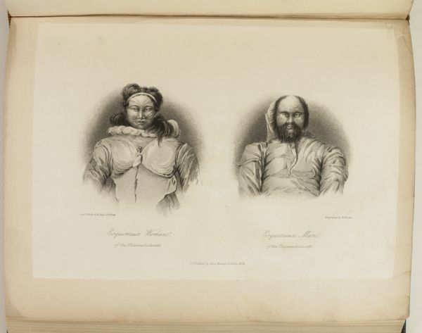
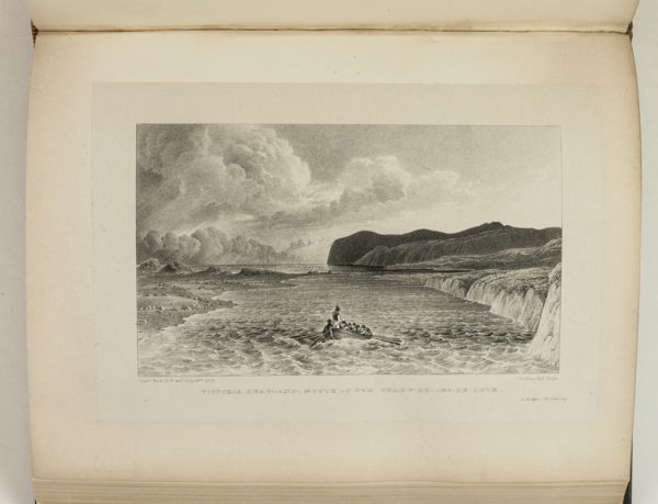
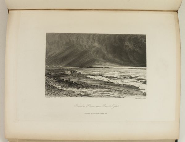
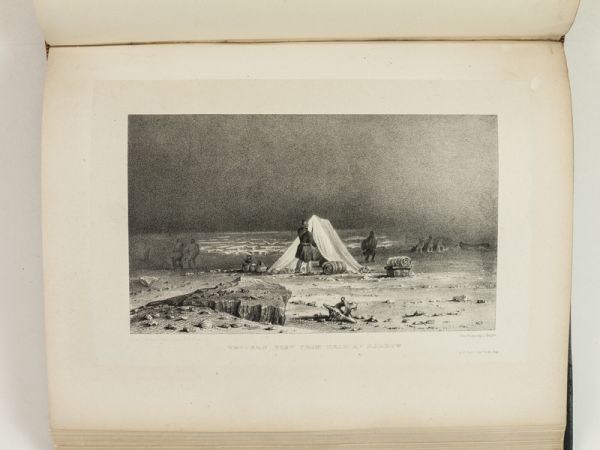
This is the Rare large-paper issue of the first edition: “One of the fundamental books on Arctic exploration” (Hill) and “one of the finest travel books of the nineteenth century” (Howgego). A large paper copy of this major source both in the early exploration of the Far North and its ethnology.” Full of details of [Back’s] commerce with the Cree, Chippewa, and Coppermine Indians. This work is a fundamental source of information about Indian life along the route of the Arctic expedition” (Streeter). The narrative also contains valuable information on Arctic flora and fauna. The original primary intention of the expedition had been to aid the second expedition of Sir John Ross. News of Ross’s safe return reached Back in April 1833 and he then pursued the expedition’s secondary objectives. These were to navigate the length of a river supposedly arising in the neighborhood of the Great Slave Lake and running north to the Arctic sea, and secondly, to map as much as possible of the sea-coast. Back was successful in both objectives, travelling 7,500 miles in total and traversing the full 440-mile length of the river (known as Thlueetessy by the Indians). The Great Fish River, as Back named it, has since become known as Back River.
$4500.00 -
