My Last Expedition to the Antarctic 1936-1937
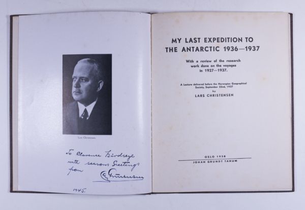
Signed by Lars Christensen
By Christensen, Lars
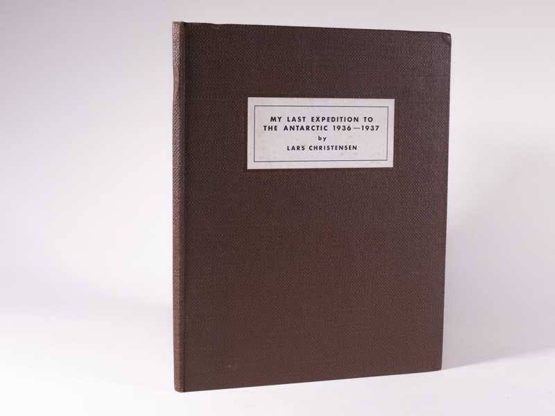
Oslo, Norway: Johan Grundt Tanum, 1938, First Edition. 4to – 23.5 cm. 18pp including black-and-white frontpiece portrait of Lars Christensen, 25 black-and-white photographic images on 9 plates, two photographic maps, cartographic end leaves. Publisher’s textural dark brown paper-covered boards, publisher’s printed label to the upper board. No prior ownership markings. A near fine and complete copy in excellent condition. Scarce.
This publication is a production of a lecture delivered before the Norwegian Geographical Society on September 22, 1937. Lars Christensen had a deep interest in Antarctica and its animal life. He was particularly interested in making geographical discoveries, and gave his captains wide latitude to do so. He financed several expeditions specifically devoted to the exploration of the Antarctic continent and its waters, and he personally participated in some of these, bringing his wife Ingrid with him in the 1936–1937 expedition. He was among the first to use aerial surveying with seaplanes to map the coast of East Antarctica, which he completed from the Weddell Sea to the Shackleton Ice Shelf, concentrating on Bouvetøya and the region from Enderby Land to Coats Land. From the seaplane brought on the 1936–1937 expedition, members took 2,200 oblique aerial photographs, covering 6,250 square miles (16,200 km2). —Wikipedia
$650.00 -
